


Tajikistan: The Pamir Highway
The thrill of driving into the unknown
The story of the trip
The Pamir Highway (M41) is one of the world’s most legendary mountain road journeys. We travel alongside the Panj River on the Afghan border, climb to the high desert plateau of the Pamirs, cross the Ak-Baital Pass at 4,655 metres, and stay by legendary Lake Karakul and in Bulunkul, the coldest village in Central Asia. A journey that brings together dramatic landscapes and the warm hospitality of the Pamir people.
The route, day by day
Tap any day to see its details.
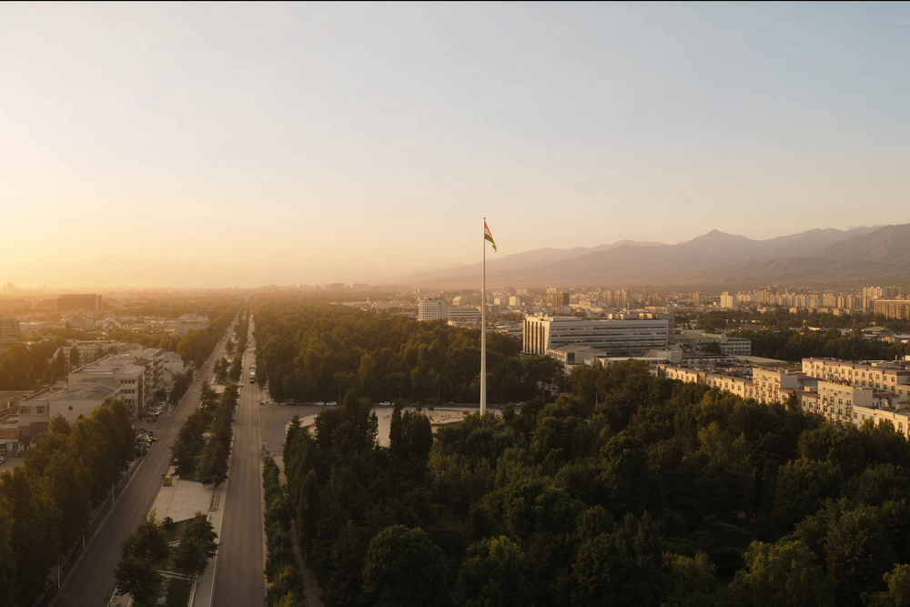
You arrive in Dushanbe, the capital of Tajikistan, where the team welcomes you and transfers you to the hotel. After a rest, we explore the city centre, including Rudaki Park and Independence Square with its soaring flagpole. In the evening, we meet the group and go through the programme for the days ahead.
We leave Dushanbe in the morning for Kulob, stopping at Nurek Dam, one of the tallest dams in the world, before lunch in Kulob. Beyond Shurobod, the road follows the Panj River, which separates Tajikistan from Afghanistan, through striking mountain scenery all the way to Kalaikhumb, where we stay at Roma Guesthouse.
We continue alongside the Panj River and the Afghan border to Khorog, the capital of the high Pamir region. We visit its botanical garden, the second-highest botanical garden in the world, then rest before climbing towards the higher plateau over the coming days.
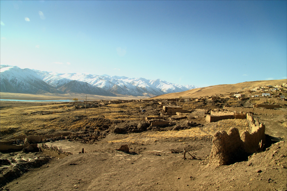
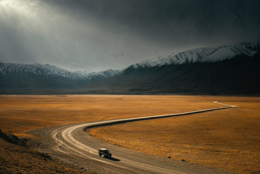
We climb gradually from the green Panj Valley to the high desert plateau of the Pamirs, where the landscape changes completely into vast plains and bare peaks. Passing remote Pamiri villages, we reach Murghab, the highest town on the Pamir Highway.
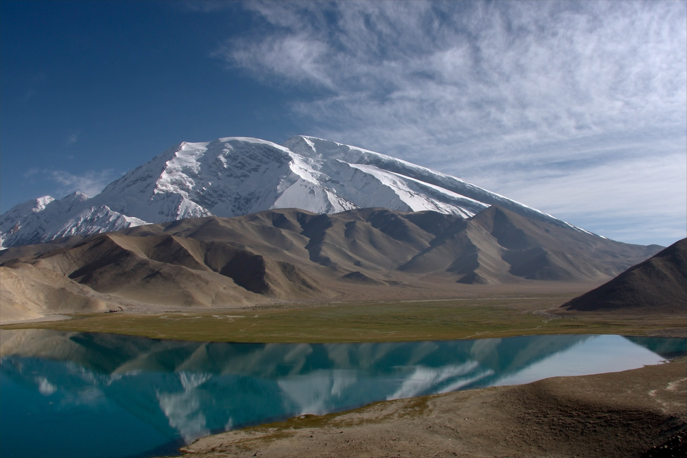
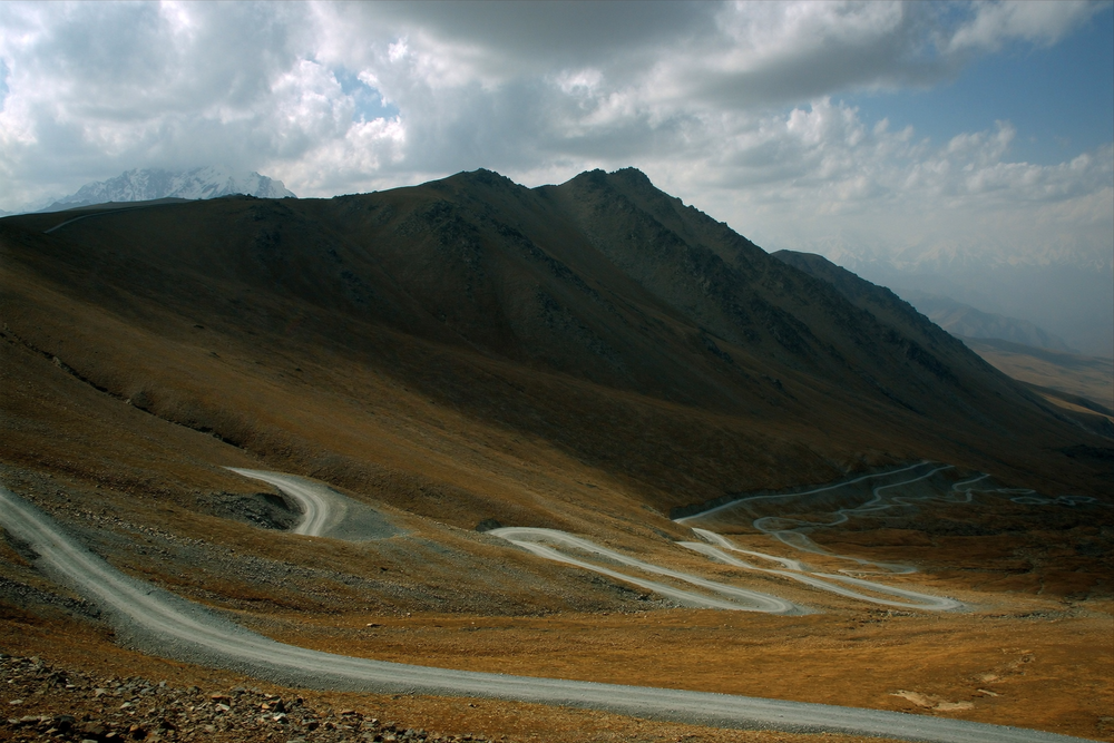
We cross Ak-Baital Pass at 4,655 metres, the highest point on the entire Pamir Highway, before descending towards legendary Lake Karakul, formed by a meteorite impact millions of years ago. We stay in Karakul village on the shore of the turquoise lake, surrounded by peaks rising above 6,000 metres.
We head south through the Alichur Valley to Bulunkul, recorded as the coldest inhabited place in Central Asia after Siberia, where winter temperatures fall below -60°C. Before settling in for the night, we visit nearby Lake Yashilkul and its enchanting turquoise water.
A long return day across the vast Pamir Plateau, followed by a descent back into the Panj River valley. We take in final views of the Afghan border before reaching Kalaikhumb for our last overnight stop on the road.
We return to Dushanbe after our long journey along the legendary Pamir Highway, settling into the hotel for a well-earned rest after days of rugged mountain roads and high-altitude landscapes.
A flexible day to explore Dushanbe at an easy pace: historic Hissar Fortress, the lively Shah Mansur Bazaar for gifts and souvenirs, and the National Museum of Antiquities. In the evening, we share a farewell dinner and look back on the journey’s finest moments.
After breakfast, the team transfers you to Dushanbe Airport for your journey home, carrying memories of a road known as the “Roof of the World” — suspension bridges above deep gorges, otherworldly lakes, and the warm hospitality of the Pamirs despite the cold of the highlands.
Easy — Light walking — a high-altitude road journey
Walking effort is light:the trip uses 4x4 vehicles and does not include long mountain hikes. It does include long driving days, including a day of approximately 470 km, and overnight stays in remote high-altitude areas.
Altitude is a separate factor:the road reaches 4,655 m at Ak-Baital Pass. Limited walking and travelling inside a vehicle do not prevent altitude illness, and fitness does not guarantee acclimatisation.
Suitable if:you are comfortable with long road journeys, cold conditions and simple guesthouses.
What's included and what's not
Included⌄
- 4x4 transfers along the Pamir Highway
- Meals (breakfast, road lunches, and dinner)
- Accommodation (hotel in Dushanbe and guesthouses along the route)
- Consultations before and during the trip
- An Omani trip leader and local driving team
- GBAO permit for the Pamir autonomous region
- OVIR registration
- Entry fees for sights and attractions
- Visa-free entry for GCC nationals under the mutual exemption agreement
Not included⌄
- International flights
- Personal equipment
- Personal expenses
- Travel and rescue insurance
- Tips
What to bring
Focus on high-altitude warmth, dust protection and comfort during long drives.
Documents and spending 5

Bags for vehicle travel 3
Daily clothing and footwear 5


Warmth on the Pamir plateau 8


Sun protection 4
Water and road comfort 4


Personal medication and first aid 2
Personal care 8


Charging, lighting and connectivity 5


Comfort and free time 1

Everything you need to know
General⌄
What makes the Pamir Highway special?+
Known as the “Roof of the World”, it is one of the highest paved international roads on Earth. The journey combines the Panj River gorges overlooking Afghanistan, the high desert plateaus of the Pamirs, and legendary Lake Karakul, formed by a meteorite impact — all from the comfort of a 4x4, with no mountain trekking required.
Is the trip safe?+
Yes. An Omani leader from OmanHikes accompanies you throughout the programme, together with a local team of drivers and support staff. All permits for the border region, including the GBAO permit, are arranged in advance.
Do I need a visa?+
No. GCC nationals are exempt from a visa for Tajikistan. You only need a GBAO permit to enter the Pamir region, and the team will help arrange it in advance.
Fitness & Route⌄
How difficult is the trip?+
Walking effort is light: the trip uses 4x4 vehicles and does not include long mountain hikes. It does include long driving days, including a day of approximately 470 km, and overnight stays in remote high-altitude areas. Suitable if: you are comfortable with long road journeys, cold conditions and simple guesthouses.
Will I experience altitude sickness?+
Altitude illness can affect any participant, even inside a vehicle, and fitness does not prevent it. Acclimatisation depends on sleeping altitudes, ascent rate and individual response. Symptoms are not always mild or temporary; report them promptly to the leader, follow the team's guidance and do not ascend further with symptoms.
Gear & Accommodation⌄
Where do we sleep during the trip?+
Accommodation is a mix of hotels in Dushanbe and simple local guesthouses along the Pamir Highway — the authentic option available in this remote region.
What is the weather like in November?+
Generally cold and dry, with a chance of light snow above 4,000 metres. Good thermal layers are essential, especially in Murghab, Karakul, and Bulunkul.
Refund summary on withdrawal
Read the full Risk & Cancellation Policy before registering.
Where the trip takes place
Trip highlights

The Panj River and the Afghan border
Two full days of driving alongside the Panj River, with only the river separating you from Afghanistan. Mud-brick villages and old caravan tracks remain visible on the opposite bank.

Ak-Baital Pass — the roof of the road
We cross the highest point on the entire Pamir Highway at 4,655 metres, where the road seems to touch the sky amid the vast silence of the Pamir Plateau.

Legendary Lake Karakul
A high-altitude turquoise lake formed by a meteorite impact millions of years ago, surrounded by peaks rising above 6,000 metres — an unforgettable sight.